
Step 1. Choose your area of interest (Postcode, Town/City, Coordinates, Shapefile or KMZ)
Products
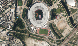
Most Recent Aerial Photography
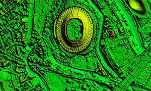
Most Recent LiDAR & Height Data
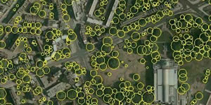
National Tree Map™
Ordnance Survey Products
Copyright Reserved
2. Choose your data
3. Checkout

Latest News
50m Clutter Data now available on the Bluesky Mapshop
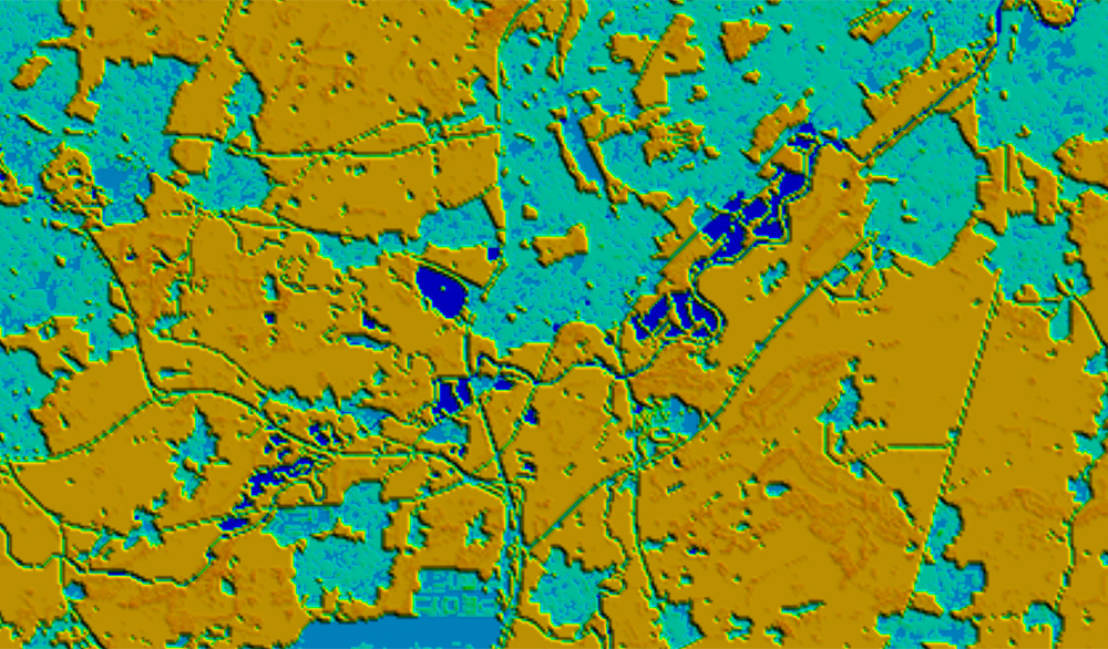
Nationwide environmental classification data showing the location and height of buildings, vegetation and water features.