Step 1. Choose your area of interest (Postcode, Town/City, Coordinates, Shapefile or KMZ)
Products
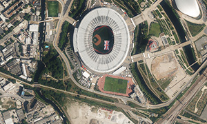
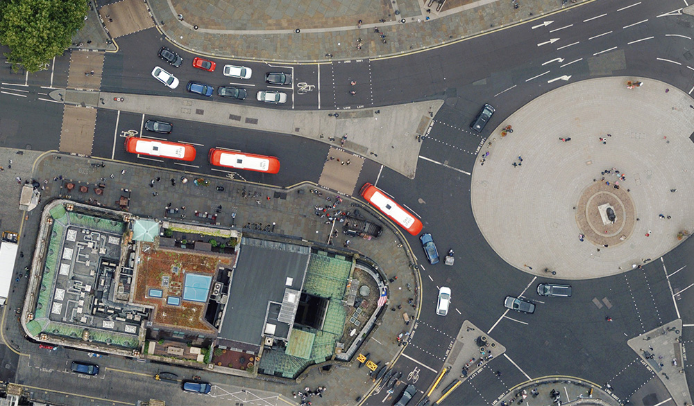
Most Recent Aerial Photography
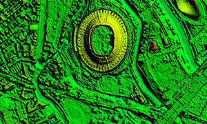
Most Recent LiDAR & Height Data
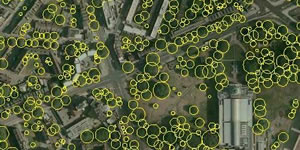
National Tree Map™
Ordnance Survey Products
Copyright Reserved
2. Choose your data
3. Checkout

Latest News
5cm data now available on the Bluesky Mapshop
Super high-res digital aerial photography is available for selected cities across England.